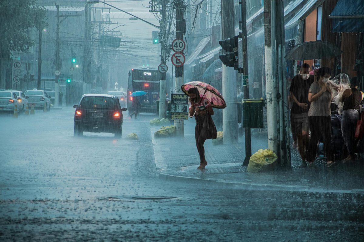
Today (July 15), the Meteorological Department reports a 24-hour weather forecast that Thailand will continue to experience thunderstorms and heavy rain in some areas. Residents, especially in the provinces of Chiang Rai, Phayao, Nan, Nong Khai, Bueng Kan, Udon Thani, Sakon Nakhon, Nakhon Phanom, and Trat, are advised to be cautious of heavy and accumulated rainfall, which may cause flash floods and forest runoff.
Particularly at risk are foothill areas near waterways and low-lying areas. This situation is due to a low-pressure system covering northern Vietnam combined with a fairly strong southwest monsoon covering the Andaman Sea, Thailand, and the Gulf of Thailand.
For sea conditions, the upper Andaman Sea has relatively strong winds with waves 2-3 meters high; in areas with thunderstorms, waves can exceed 3 meters. The lower Andaman Sea has waves about 2 meters high. The upper Gulf of Thailand has waves 1-2 meters high, with waves exceeding 2 meters in areas of thunderstorms.
Fishermen in the Andaman Sea and the Gulf of Thailand are advised to navigate with caution and avoid sailing in areas with thunderstorms. Small boats in the upper Andaman Sea are advised to remain ashore during this period.
In Bangkok and surrounding areas, thunderstorms are expected over 60% of the area, with some places experiencing heavy rain. The minimum temperature is 26-27°C, and the maximum temperature ranges from 33-36°C.