The Meteorological Department has issued a warning of heavy to very heavy rainfall across four provinces—Chanthaburi, Trat, Ranong, and Phangnga—in the upcoming days, due to intensified monsoon activity.
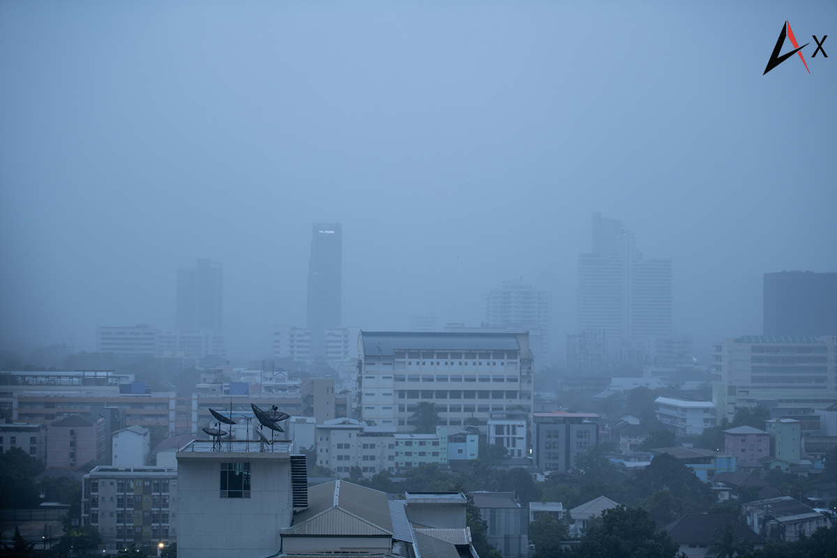
Residents in parts of central and northeastern Thailand are also advised to remain alert for localized downpours and the risk of flash floods, especially in low-lying areas, along hillsides, or near water channels. The warning follows the strengthening of the southwest monsoon over the Andaman Sea and the Gulf of Thailand.
Mariners are urged to exercise extreme caution as sea conditions are expected to deteriorate. Waves in the upper Andaman Sea could reach heights of 2–4 metres, with stormy areas experiencing waves over 4 metres. The lower Andaman Sea and upper Gulf of Thailand are forecasted to have waves of 2–3 metres, with possible heights exceeding 3 metres during thunderstorms. Small boats are advised to stay ashore until conditions improve.
Additionally, authorities are monitoring Tropical Storm Wipha, currently situated over the northern South China Sea. As of Sunday morning, the storm’s centre was approximately 560 kilometres east of Zhanjiang, China. It is moving west-northwestward and is expected to enter the Gulf of Tonkin before making landfall in northern Vietnam possibly by Monday or Tuesday.